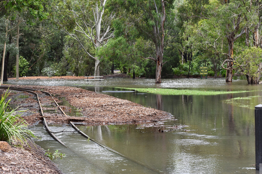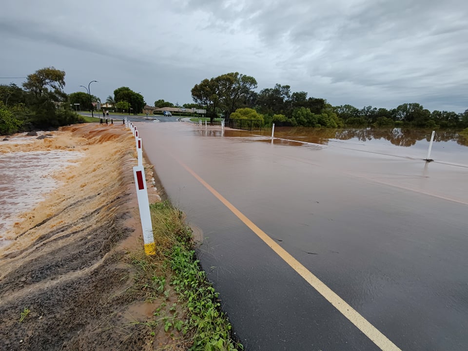
It’s been the wettest November in the Bundaberg Region since 1934, with a number of local facilities and roads underwater today, and there’s more rain on the way.
The soggy start to the month saw some parts of the region record over 200mm within a single day – a stark comparison to the 1mm recorded for the whole month of November last year.
Today’s rainfall records show 192 mm fell in Bundaberg overnight.
Popular park Lake Ellen and some areas of the Botanic Gardens are inaccessible due to water inundation.

Local Disaster Management Group chair Mayor Jack Dempsey said with a number of local and state roads impacted by flash flooding, motorists needed to take care.
“The easiest way to avoid a dangerous situation on the roads during wet weather is to drive to the conditions,” Mayor Dempsey said.
“And of course, if it’s flooded forget it.
“Even if you are familiar with the road – you just don’t know what is happening underneath the surface and we certainly have seen in the past instances of roads receding as a result of water flow.
“That goes for Council parks and facilities as well, the safest course of action is not to enter areas impacted by flash flooding.”
Heavy rainfall has also inundated walking trails in local natural areas across the region including Baldwin Swamp and Barolin Nature Reserve.
There have been some impacts on the operation of the Council sewer network which staff are working to resolve as a priority.
The network will continue to be monitored but anyone experiencing issues with their sewer service should contact Council on 1300 883 699.
Bureau says more rain is on the way
Bureau of Meteorology Climatologist Tamika Tihema said the forecast suggested even more rain was on the way for the remainder of November, which would completely trump current records.
“There are two long-term sites for Bundaberg,” Tamika said.
“The current (open) site is Bundaberg Airport which had its highest November monthly rainfall of 227.4mm in 1974,” Tamika said.
“The old (closed) site is Bundaberg Post Office which has the highest November monthly rainfall between the two sites, with 353.8mm in November 1934.”
Tamika said November 2021 had experienced huge rainfall totals within a range of suburbs.
“These include Moore Park 398mm (isolated extreme daily rainfall totals on the coast saw more than 200mm reported at this site on 18 November), Bundaberg 395mm and Bundaberg South 352mm,” she said.
A La Niña, declared by BOM earlier this week, is creating the wetter than average conditions with an increased risk of tropical cyclones, heavy rainfall and widespread flooding across eastern Australia.
“In Queensland, a trough is moving eastwards, combining with a moist onshore north to north-easterly airflow, this is producing showers and thunderstorms, some ever over much of eastern Queensland,” she said.
“The La Niña is established in the tropical Pacific and is likely to persist until the end of January.”
As well as the wet conditions, BOM reported the region was likely to experience warmer-than-average temperatures over the next few weeks.
Wettest November puts emergency services on alert
Queensland Fire and Emergency Services Commissioner Greg Leach said State Emergency Service crews were responding to requests for assistance.
“Queensland’s storm and cyclone season has well and truly kicked off and we’ve already seen several severe weather events across the state in the past weeks,” Mr Leach said.
“With rain forecast to stick around into next week, I know our QFES personnel will continue to step up to the job, but I encourage everyone to take proactive measures to prepare not just for the coming days, but for the coming weeks.
“Clear gutters, remove overhanging branches and make sure your emergency kit is up-to-date.”
Keep up to date during wet weather at Disaster Dashboard
Head to the Disaster Dashboard to stay up to date with the latest updates.


